We moved from
Brittany to Picardy last Tuesday/Wednesday. The weather on Tuesday was
appalling for most of the journey with torrential rain after 11:00 am.
Wednesday was fine for travelling, apart from a motorway services being closed
for fuel when we were running low. We reached the next one- just- showing
empty.
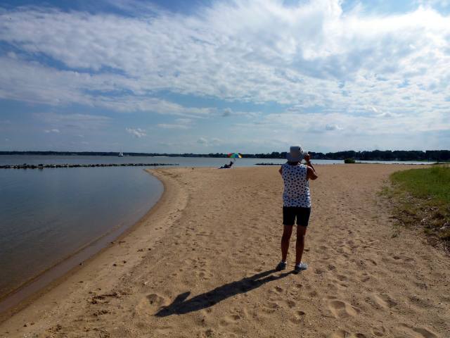
Our campsite is in
a small village near the town of Peronne, and is directly on the 1916 World War
One front line. This morning 101 years ago, at 7:30 am, the Allies (that is,
the French, and the British and Commonwealth troops) launched the biggest
counter-attack of the war in an effort to overrun the German trenches and thereby
break the stalemate that had existed since late 1914 between the two opposing
armies.
The first day could
not be described as a success. The British alone suffered 57,000 casualties, 20,000 of them fatalities, for very small territorial gains. The
Germans had dug in well and were an efficient fighting force. The problem was
that defence was mechanised and modern with machine guns, barbed wire, spotter
planes, snipers, but attack was not. Our masses of unprotected soldiers swept
towards the enemy lines to be mown down. 85% casualties within the first hour
were reported by some units.
The Somme offensive
lasted until mid-November 1916 when it was called off. Nowhere along the front did
the Allies advance more than 8 miles.These tiny movements could in no way
justify the staggering human losses, mainly military but some civilians as
well.
Let’s run through an
example of a typical British sector along the 18 mile front, say at La Boiselle,
that morning of July 1st. Soldiers of the Tyneside Scottish and
Irish battalions of the 34th British Division would be waiting in
the trenches for the signal to go over the top at 7:30. This is probably today's best preserved example of a 1916 trench. The second photo is a WW1 real-time
trench.
But here, at La
Boiselle, there is a mine due to blow just before the assault begins. Teams of
Welsh miners have spent weeks tunneling under the German lines and then
packing the tunnels with nearly 30 tonnes of high explosive. At 7:28 precisely the charge
goes off and creates the largest deliberately made crater ever made up to that
time. It is said that the blast could be heard in London. Other mines were also
detonated, but this was the biggest and is also the best preserved. The photo does
it justice when you see the motorhome
for comparison in the background, top left.

7:30. The whistles.
The infantry goes over the top and advances toward the enemy lines a few
hundred yards away. The photo below is the ground they would have proceeded over, but not
looking anything like this as the British guns have fired 1½ million shells along
the front during the previous week to destroy the German defences: their
trenches, dugouts, barbed wire, field guns etc. Now the big mines have finished
the job. They hope.
The General Staff
have told the officers in the field to order the men to walk, as all resistance
will have been wiped out. Some damage has been done, of course, but the German
line is essentially in good order and the troops largely unscathed. But the military
planners should have known that anyway from previous experience.
So our soldiers are
decimated by enemy machine gun fire. Our 34th Division here lost 4,292 men on the first day
with 4 divisional commanders killed. Territorial gains: minimal. Result: photo
below. There are 410 British military cemeteries like this on the Somme alone.
In time, dignified
monuments were erected, the greatest of which is at Thiepval, not far from La Boiselle and also a scene of
great losses in the Somme campaign. It was designed by the foremost British
architect of the time, Sir Edward Lutyens, and completed in 1932. It contains
the names of over 72,000 soldiers whose remains were never found.
It’s majestic size
can be better appreciated from the following photo of the inside walls that
contain the fallen soldiers’ names where the tiny person in the blue coat gives
an idea of the building's scale.
The after-effects
of the war were felt in all the combatant countries, not only from numbers
killed but by the wounded and the mentally damaged. Post traumatic stress wasn’t
recognised then.
The injustices of
the peace settlement also sowed the seeds of discontent in Germany that directly
led to the Second World War.
Having seen many battle
sites, cemeteries and museums here on the Somme that is just part of one war,
in turn one of many wars, does pose the question as to how far mankind has
really progressed along the road of civilisation.