Cartagena is the
second city in the region of Murcia. Due to its superb natural harbour it is a
major port, cruise ship destination, and naval base. It has been the Spanish
fleet’s Mediterranean HQ for many centuries.
By the start of the
20th century it was clear that the harbour defences were inadequate;
technology had moved on from cannon balls to modern shells. In 1912 the Spanish
Government commissioned a study of the defences, but it was not until 1925 when
the “Vickers Deployment” report resulted in positive action.
Pursuant to this
report, the British firm of Vickers supplied all the armaments for two
batteries of guns, one on each side of Cartagena harbour, to provide an arc of
protective crossfire.
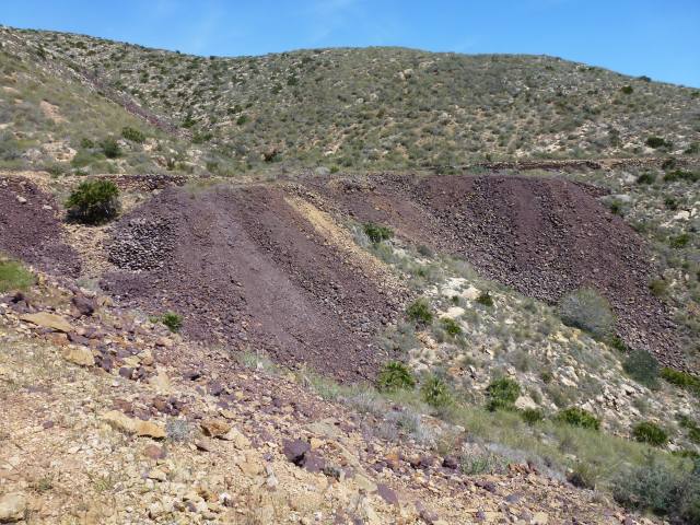
One of those two batteries
was sited on a headland about 5 miles from our campsite. It was active until
1993 when it was abandoned. The Spanish seem to be in the habit of just walking
away from facilities they no longer need, like the Mazarron mines, but that’s
great for exploring because everything’s left as it was.
The stars of the
show are the Vickers 15 inch guns. The photo is courtesy of our friend Stan,
with Jane and me in front of the barrel for scale.
These
guns now had plenty of range, over 20 miles, and clout from a shell weighing nearly
a tonne. The guns in this battery were never fired in anger, but those on the
other headland covering Cartagena were in action once, near the end of the
Spanish Civil War.
On
the 7th of March 1939 a fleet of ships containing Franco’s landing
force of 20,000 men was approaching Cartagena, one of the last Republican
strongholds. Franco believed that the city would fall easily, but when the
invasion force arrived it was clear that they would encounter stiff opposition,
so the fleet was instructed to withdraw. That is, except for one ship, the
Castillo de Olite that had a broken radio so could not hear the withdrawal
order.
The
Castillo de Olite was hit by three of the massive shells which sunk it, resulting
in the death of 1,476 men out of the 2,112 on board: the greatest loss of life
ever in a Spanish vessel. This is an archive photo of the ship.
The
gun batteries were constructed between 1926 and 1933. They built a new jetty at
the local fishing village of La Azohia to deliver the equipment by sea and a
new road to transport the material to the remote headland designated for the
installation. Here one of the gun barrels is being dragged up the road using
tracks that are removed from the back and put to the front as the load
progresses.
It’s
the same access road we use today that can
be seen threading its way through the difficult terrain.
For reasons I’ve been unable to discover, the gun emplacements are hidden behind a Disney-like facade.Was the designer taking the Mickey?
One
year we found an access door to the firing and control area within the gun turret
itself. This has now been blocked off presumably for safety reasons. It was
pitch black, but our team of explorers took torches and had a great rummage
around.
There
are many other military buildings in various states of decay: barracks,
officers’ housing, canteens etc. More hardware, too, all supplied by Vickers as
part of the defence package: anti-aircraft guns and 6 inch guns. The
anti-aircraft guns have gone but some of the 6 inch guns remain. These would
have looked hugely impressive if you hadn’t seen the 15 inch guns first.
It’s
all located in a very picturesque but remote setting with lovely views of the
sea and hills. Cartagena harbour is in the distance; this is what they were
defending.
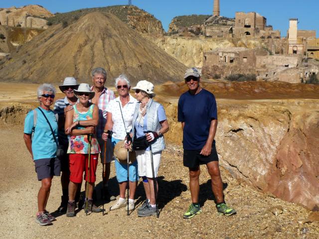
It’s
an unusual tourist attraction generally deserted outside of public holidays that
adds to the abandoned, ghost town atmosphere.