Wednesday 27 April 2022

The Broken Rocks

 Sounds like a forbidding place created by convicts’ hard labour. We’ll keep you in suspense!

We drive up into the hills and park at the start of an originally well made dirt road, now rough and rutted where erosion would prevent the passage of even a land rover. But it’s fine for walking.

We’re heading towards the sea, and catch glimpses of it as the dirt road twists and turns. Lucky we’re not in a vehicle as we’d probably be car sick!

Turn the next corner and a huge seascape spreads out in front of us. We’re looking towards Cartagena harbour in the distance. This is a major port with deep water berths for cruise ships, a large oil refinery, and the main base for the Spanish Mediterranean fleet.

Plodding on, keeping the same sea panorama in view, we arrive at the broken rocks. It’s just a natural jagged rock formation, so no sinister overtones.

We are returning to the car by another route, and I take one last photo before the sea disappears altogether. The one building visible, overlooking the sea, is known locally as the Custom House, now empty. This area was  known for smugglers in the past: ideal, given its remote and difficult terrain, so it would seem a good place for the Customs to have an outpost.

The return path is nowhere near as wide or well specified as the dirt road to the broken rocks. However, it has been deliberately hacked out with any steep sides shored up for safe use by humans or donkey.

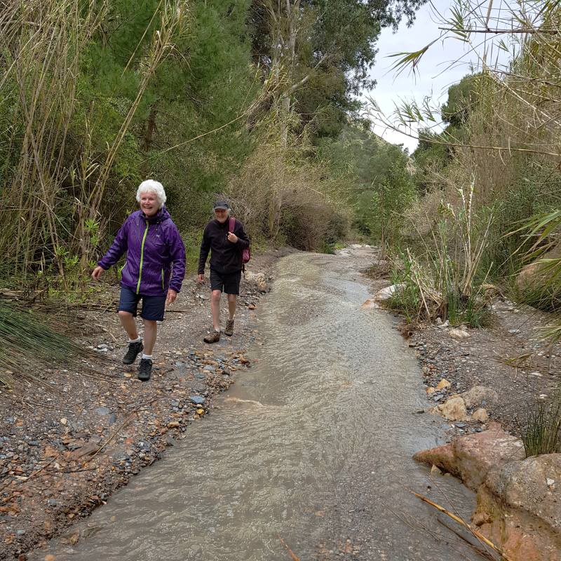
The question, of course, is why. The path threads through complete and total wilderness, much greener than usual because of this year’s abnormal rainfall. Perhaps a clue is to be found in this long abandoned sheepfold.

Or even more probably, in this dry stone wall next. There are many of these walls above the track creating terraces back up the hillsides. We realise that we are looking at the remains of subsistence farming  of the past and the track their access road. The locals must have lived an unimaginably hard and frugal life. Ministering to the tourists today is a more attractive option.

The track eventually joins the dirt road from the Custom House, and thence back to the car. A walk with incredible views, and a peek into Spain’s rural past.


Tuesday 19 April 2022

Wet,Wet

 Until a week ago the weather was unsettled: the area received more than its annual rainfall in the preceding three weeks. One of our favourite walks is along a rambla that runs near the campsite. A rambla is a dry river bed, which this one always has been in the previous 15 years we’ve been coming here. This year is different.

There are at least 20 dwellings sparsely dotted along the 5 mile long rambla that use it as a road. The water in some places has eroded the surface to form small waterfalls. This waterfall covers the width of the rambla, about 7 or 8 metres across.

And a little further along, where our two friends are walking, it’s a full-blown river.

The residents generally drive 4X4s and we saw them tackling water depths and boulders that would strip the exhaust off most normal cars. But the scenery remains beautiful: the cliffs in the next photo reach nearly 2000 feet.

An info board tell us that the cave of the horseman, coming up next, contains evidence of human occupants 12.000 years ago, so we’re in Flintstone country. Fred’s cavemobile was hopefully a 4X4.

Towards the top of the rambla is a chapel, dated 1971, looking and feeling much older than it is. It is nicely maintained and, most times we see it, someone is cleaning or tidying in it.

The old farmhouse, or finca, below gets more dilapidated each time but was once a substantial prestigious dwelling set in lovely surroundings. Even now, it is possible to see the areas of cultivation running towards the cliffs. The Parks Department have recently installed some picnic tables so folks can enjoy the ambience – folks, that is, with 4X4 vehicles. 


Wednesday 13 April 2022

Las Coleras Mines: 7th April

 On a hillside behind the campsite are some abandoned mines. We decided to take a look. A climb of about an hour to reach the first reminded us that the miners had this trek to make and then do a day’s work. We’re getting close to the first mine here:

There are several mines, some interconnected below ground, stretching right up the hillside:

These are iron ore mines, first started in 1884 by a French company, initially using mules to bring the ore out and cart it down to the coast. This archive photo gives an idea of the work:

There was a full complex of administrative buildings as well as the mines themselves, including essential water storage in this odd shaped structure:

In 1912 the owners suspended mining temporarily. They reopened in 1915  having  modernised operations with pneumatic machinery and an aerial cableway to move the ore to the coast. A few of the pylons are still standing indicating the route to the coast:

Having conveyed the ore to the coast, a new jetty was built allowing easier loading of the barges that ferried the ore to the ships waiting in the bay. Clearly they weren’t able to take the jetty into deep water for loading directly onto the ships. The archive photo next gives an idea of the system, with the jetty on the left and the barges stringing out from it. Nothing now remains of the jetty.

We didn’t venture into the mines themselves as we weren’t equipped but there are no barriers preventing access. They are a firm favourite venue for caving groups that do have the equipment - and the training.

The mines closed in 1931 when Franco came to power (I can’t see any connection ) and reopened in 1951, with final closure in 1961 due to cheaper competition. The ore was in fact high grade and had been exported to the UK and Switzerland.

A hard life for the locals, but who said dealing with us holidaymakers was easy!


Thursday 7 April 2022

Wednesday 5th April

Considering that we have been here for over two weeks we don’t seem to have done much: it’s been forced relaxation caused by poor weather. Let’s be honest – very bad weather! This region is normally one of the driest and sunniest in Spain, with only 8 inches of rain per year. That amount has already been exceeded in the time we have been here. There are some compensations, but the pot of gold could not be traced:

Unsurprisingly, it’s greener than usual. The small reservoir outflow is much more vigorous this year. It’s about a 30 foot cascade.

Occasionally the hills at the back of the campsite display a strange phenomenon, captured by my phone camera so it’s not really clear:

Guesses? Dashing in to get the better camera, the result is now obvious:

It’s a huge flock of sheep, with the shepherd lower down just visible carrying a red backpack. Some years ago we encountered a similar shepherd while walking in the hills and he indicated that he and his dog were out with the sheep 24/7. He must have a very understanding wife (Barbara?)!

Next shot is us out in the hills, a dry day at last. This carpet of plastic is but a small proportion of the tomato greenhouses all along this coast. Perhaps this is what we will all be eating when meat is banned for eco reasons.

A short walk to the local village on another day -  a lovely little chapel by the sea. Looks like it’s been there for centuries but it was actually completed in the 1960’s.


 Finally, we put some excess couscous in the bird feeder. To our amazement, a minute late, there’s a feeding frenzy! The bird feeder is Jane’s own design using two 5 or 6 litre water bottles. Perch points are cut in the one bottle and gravel put in the bottom for stability. The base only of bottle two is cut off and wedged over the gravel in bottle one. That’s the feeding tray, which also keeps the gravel in place.